The city of Amritsar(in Punjab) and its neighborhood
towns are an interesting specimen for anyone curious to comprehend the
influence of convoluted intersections of geographical, economical and social
paradigm in designing the space we may be aware of.
Although drained at periphery by
two rivers, Ravi in its extreme North and Beas in its South the city of
Amritsar along with its neighborhood cities (like Taran Taran) remain dry at
its core. This therefore explains how necessary could have been artificial mode of water resources like wells or tanks in the
distant past here.[i]
However, more intriguing is to explore the reason for their construction and
how they have been adapting themselves with changing time in the contemporary
larger social milieu.
The location of the city on the
important imperial trading route stretching from Agra in the East to Lahore in
the West was one of the most crucial links in the well construction activity[ii] and
it can also be adduced through various examples. The presence of a majestic
Mughal sarai (resting place for
travelers), Sarai Amanat Khan on the
Attari road, highlights state patronage to Taj Mahal calligrapher,
Amanat Khan. Its very occurrence on this trading highway, existence
of a step well at its entrance and presence of other dug wells in and around its complex point
towards interlacing of state demand for swift flow of commercial traffic with dry climatic conditions to build wells in the
environs. It is interesting to notice how times change and things evolve. The popular
medieval times’ sarai and the wells
stand in ruins today but have become tourist attraction and also mode
of survival for families claiming to be residing here since the time of
Indo-Pak partition in 1947.
There are more evidences to
illustrate how trading activities and well construction got fused with each other. For instance, it was the popularity of some social
figures on the route which proved to be a strong impetus for the same. This
becomes clearer through the personage, Khwaja Khizr. He is a well known water-deity among
trading communities inhabiting region from Arabia to Western Indian
Sub-continent. Reverence for him and his intricate association with water
accorded him in sufi-shrines and as well as in temples. Thus, triggered well building in
the close vicinity. Consequently, one can witness considerable number of wells
(generally closed or ritualistic) dispersed throughout the city of Amritsar mostly in
the religious centers dedicated to him. Thus, isn’t his pervasive influence indicative of a complex blend of movement of traders and communication of belief
systems across regions of the West Asia and Indian subcontinent? Another similar case in point could be the wells in the
Indo-Pak border villages like of Naushera Dhalla where the service of a lady,
Bibi Mata Ram Ki of providing water to travelers and merchants passing by got cherished
through the digging of a well in her name which then might have maintained a
continuous water supply there. Although today the well is dry and not in use
but still remains an important source of attraction for the travelers. The well eventually got circumscribed in a huge Gurudwara complex, dedicated to Baba Jalan
Ji (a famous saint and her husband) and pilgrims put coins into the same well
in the memory of her dedicated service.
It was a simultaneous two way process
where on one hand it had been the affluent trade introducing particular belief
system and shaping a specific landscape and on the other hand very belief system
intertwined with the economic necessity initiating well building activity.
Whether it was establishment of Persian wheel in the Nashera Dhalla village or one at Chehttara (literally, Persian well with six rings), both became coincident with
the celebration of a birth of baby boy and subsequently with building of large
Gurudwara complexes dedicated to saint Baba Jalan Ji at former and Chehttara
Sahib at later place. In fact, even at present, Chehttara Sahib is widely known for rituals associated with fulfilling the wish for a boy child. Can perpetuation
of such a mindset also be an indication to the perennial first preference to baby boy and declining female sex ratio in Punjab or North India? Also, do not
their construction in the respective zones and co-existence of surrounding
green fields once again interlink the geographic needs and economic prosperity with
the existing social sphere? Further, would not this inter-relationship
developed in the past be important in sustaining their economy even today?
Apart from aforementioned wells
whose reason for construction could be seen in relation with economical impetus, regional
needs and socio-cultural milieu there are also wells within Amritsar city which probably already existed but got enmeshed with the notion of religious purity and communal politics. Case in point is a functional well in the ashram of Namdhari Sikhs. It is at the memorial site of martyrdom of their saints who were hung here as per the British punishment for instigating the crowd against cow slaughter. Until today the purity norms are
strictly followed with water being driven only from this well for daily needs
of the Namdhari saints staying in the ashram.
It is thus intriguing to see that the existing wells which once remained an important source
of sustenance for the economy and population have mostly gone dry but nevertheless rekindle themselves through memories and legends which have kept them afresh. Is it only the distant Mughal past where this trading route played an
important role of intermixing economy and socio-cultural paradigm? Even today it remains eminent as the popular Grand Trunk Road or National Highway 1[iii], sustaining economy and the socio-cultural lives in its own unique way.
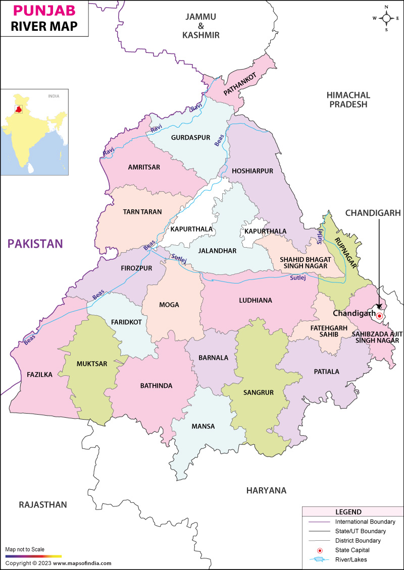 Map No. 1, http://www.mapsofindia.com/maps/punjab/rivers/pathankot.html
 Map
no. 2
Map
no. 2
http://upload.wikimedia.org/wikipedia/commons/7/7b/Route_of_grand_trunk_road.png
.png/290px-National_Highway_1_(India).png) Map no. 3- National Highway 1
Map no. 3- National Highway 1
http://upload.wikimedia.org/wikipedia/commons/thumb/e/e5/National_Highway_1_%28India%29.png/290px-National_Highway_1_%28India%29.png
Council for Leather Exports (CLE) membership is essential for businesses involved in exporting leather products from India. It provides exporters with the Registration-Cum-Membership Certificate (RCMC) required for international trade benefits. Membership also helps companies access government export promotion schemes and global market opportunities. The Council for Leather Exports supports exporters with industry updates, trade fairs, and policy guidance. Professional consultants like Agile Regulatory can assist in obtaining CLE membership smoothly and quickly.
ReplyDeleteRegistere here - https://www.agileregulatory.com/service/council-for-leather-export-cle-membership